| front |1 |2 |3 |4 |5 |6 |7 |8 |9 |10 |11 |12 |13 |14 |15 |16 |17 |18 |19 |20 |21 |22 |23 |24 |25 |26 |27 |28 |29 |30 |31 |32 |33 |34 |35 |36 |37 |38 |39 |40 |41 |42 |43 |44 |45 |46 |47 |48 |49 |50 |51 |52 |53| 54 |55| 56 |57 |review |
 |
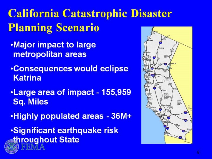
The State of California is a highly prepared and capable “at-risk” State with a history of severe earthquake and related seismic activity. It has a highly diverse and important economy, a highly diverse and heterogeneous population, and includes a demographic with large special needs populations. California’s unique geography is a peninsula with severe geographic restrictions on transportation, evacuation, and logistics, a highly sensitive environment and ecology, and demanding climate and weather conditions complicated by the likelihood of secondary incidents and consequences such as landslides. Continue on with points on Slide 18… The area potentially affected by a major earthquake is projected to be 75% larger than the 90,000 square miles affected by Hurricanes KATRINA and RITA. The region houses and supports a significant number of critical infrastructures vital to national and homeland security and, as with the NMSZ, the resident infrastructure topologies and dependencies have wide-ranging impact on other regions. |